Aldeia Solar / Costa Lopes

Aldeia Solar is located in the Comuna of Cabiri about 50km from Luanda, not far from Lake Lalama, along the national road 110 (Luanda-Funda-Catete).Â
© Manuel Correia
Architects: Costa Lopes
Location: Cabiri, Angola
Area: 1000.0 m2
Project Year: 2014
Photographs: Manuel Correia
Co Author: José Forjaz
© Manuel Correia
From the architect. Aldeia Solar is located in the Comuna of Cabiri about 50km from Luanda, not far from Lake Lalama, along the national road 110 (Luanda-Funda-Catete).Â
© Manuel Correia
More than a settlement and housing for about 500 low-income families, it is intended to ensure for a farming community some self-sufficiency in the about 100 available hectares, while respecting the fertile landscape of lemon grass punctuated by multiple baobabs, trees sacred in Africa.
© Manuel Correia
The line of the ridge, optimizing orograhy and the extension of the terrain, creates an infrastructural central spine, distributor and equipped, that provides for the community spaces - school, community center, job center, health center, market - between the water tower in the northeast limit, to the highest allotment, and the playing fields, highlighted, in the northwest limit.
Site Plan
Then, this new avenue adds twelve neighborhood units, low rise, with houses, attached farms (each division amounts to approximately 210m² for agricultural an...
© Manuel Correia
Architects: Costa Lopes
Location: Cabiri, Angola
Area: 1000.0 m2
Project Year: 2014
Photographs: Manuel Correia
Co Author: José Forjaz
© Manuel Correia
From the architect. Aldeia Solar is located in the Comuna of Cabiri about 50km from Luanda, not far from Lake Lalama, along the national road 110 (Luanda-Funda-Catete).Â
© Manuel Correia
More than a settlement and housing for about 500 low-income families, it is intended to ensure for a farming community some self-sufficiency in the about 100 available hectares, while respecting the fertile landscape of lemon grass punctuated by multiple baobabs, trees sacred in Africa.
© Manuel Correia
The line of the ridge, optimizing orograhy and the extension of the terrain, creates an infrastructural central spine, distributor and equipped, that provides for the community spaces - school, community center, job center, health center, market - between the water tower in the northeast limit, to the highest allotment, and the playing fields, highlighted, in the northwest limit.
Site Plan
Then, this new avenue adds twelve neighborhood units, low rise, with houses, attached farms (each division amounts to approximately 210m² for agricultural an...
| -------------------------------- |
|
|
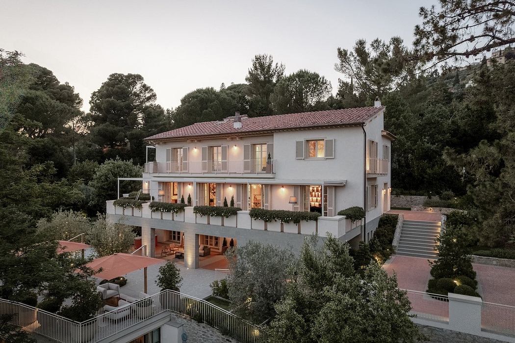
Villa M by Pierattelli Architetture Modernizes 1950s Florence Estate
31-10-2024 03:55 - (
architecture )